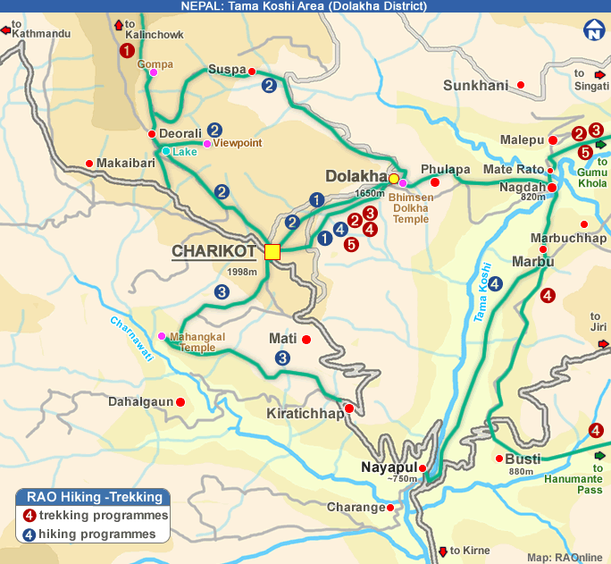
| Specific
points |
 to note to note |
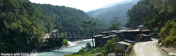
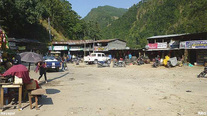
| Bus
from Nayapul |
be
in Nayapul before 4 pm |
| Temperature |
can
be hot even in April |
| Water |
take
at least 3 liter with you |
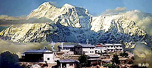
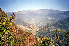
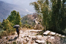
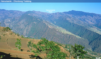
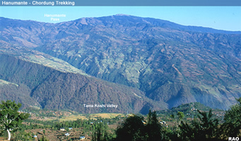
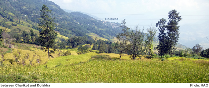
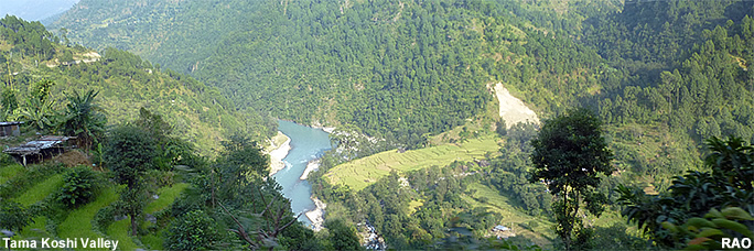
| Scenic
Views |
View
to Kalinchowk, Gauri Shankar at the beginning of the trek |
| Places
to see |
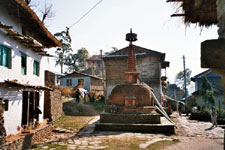
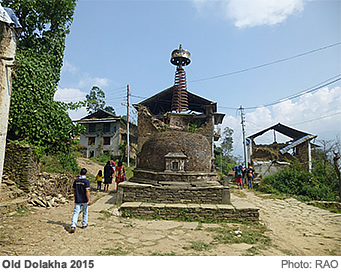
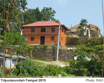
-
Old Dolakha
-
Dolakha: Bhimsen mandir
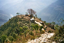
-
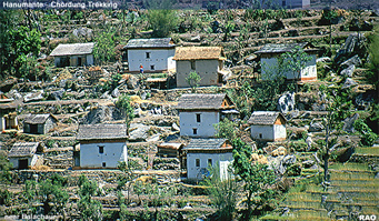
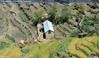
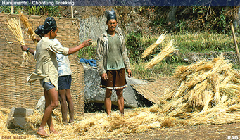
Marbu: Rural life |
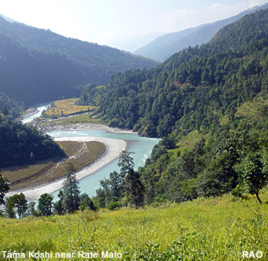
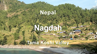
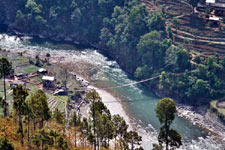
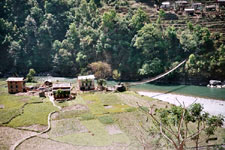
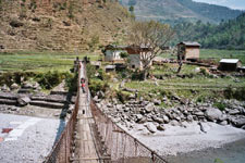
| Places
to rest |
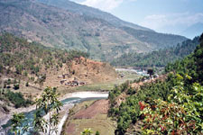
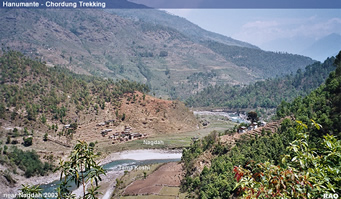
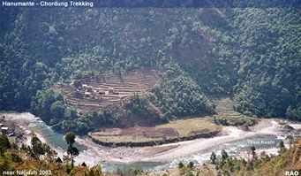
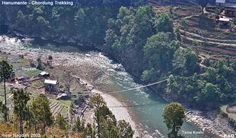
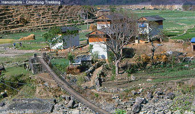
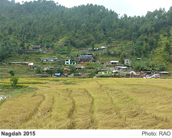
-
Nagdah: River front
-
Nayapul: River beach |
| Earthquake |
- Rate Mato: campsite not in operation
(2015-16)
- Rate Mato: shops destroyed
(2015-16)
- Tea shop at 1,000m: destroyed (2015)
- Nagdah: Tea shop in open for guests |