|
Geography |
 |
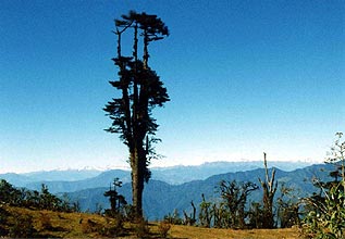 |
Eastern Himalayas
| Landlocked
between China in the north and India in the south, east and west, Bhutan
is a small country with an area of 46,500 square kilometers. Its geography
is characteristic of the Eastern Himalayas with elevation ranging from
150 meters above sea level in the south to more than 7,300 meters in the
north. |
|
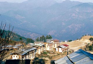
Bhutan
is divided into three zones. The southern zone is characteristic of low
foothills and dense tropical forests.
With
an average temperature of 20 degrees centigrade, this region is hot and
humid. The central zone is situated between 2000 and 3500 meters. While
the climate in the lower valleys is semi-tropical, most of the region is
alpine with a monsoon. The central zone is divided into three regions:
Western Bhutan, Central Bhutan, and Eastern Bhutan. The northern zone stretches
from west to east between 6800 meters to 7400 meters, forming part of the
Great Himalayas.
 |
 |
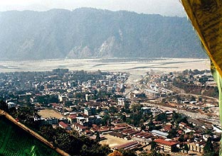
| Phuentsholing
Town |
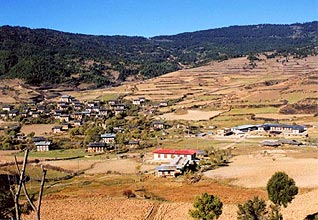
Ura
Valley |
 |
 |
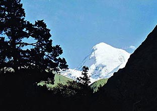
| Mount
Jhomolhari |
Mongar
Town |
|