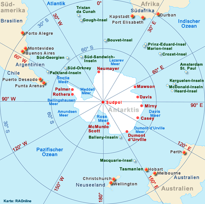
| Geografische
Lage: |
53°
06' S, 72° 31' E
(Gradnetz
der Erde) |
Gesamtfläche:
Land:
Wasser:
Festlandgrenzen:
Küstenlinie:
Territorialgewässer: |
Total:
412 km2
412
km2
0
km2
0
km
101,9
km
12
Nautische Meilen |
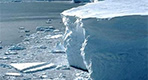
| Klima: |
antarktisch |
| Geschichte: |
1947,
Besitzübertragung von Grossbritannien zu Australien |
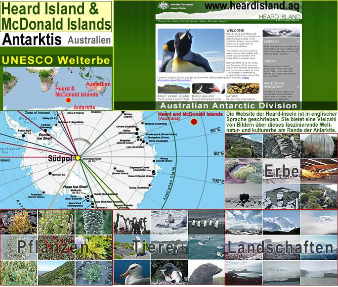
| Administration: |
The
Australian Antarctic Division of the Department of the Environment and
Heritage in Canberra |
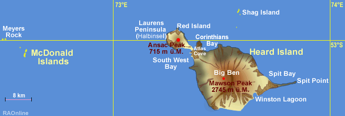
| Gelände: |
Heard
Island
Unbewohnte
subarktische Insel
Naturreservat
Zu
80% mit Eis bedeckt, ausgedehntes, baumloses Gebirgsmassiv
(Big Ben) und einem aktiven Vulkan (Mawson Peak, höchster Punk 2'745 m)
McDonald
Inseln
schmal
und felsig |
Tiefster
Punkt:
Höchster
Punkt:
Rohstoffe:
landw.
genutztes Land: |
Indischer
Ozean 0 m ü. M.
Mawson
Peak, 2'745 m
keine
0% |