The
region is bordered by the Sun Kosi River on the west and the Khimti
Khola River on the eastern edge. It is divided unequally by the River
Tama Koshi, proportionately two thirds to the west of the river and
one third to the east.
 |
| To
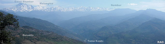
the north east lies the impressive Rolwaling Himal to the western edge
of which are such peaks as Gauri Shankar and Melungtse. Gauri
Shankar is synonymous with the god Shiva and his consort Parvati.
It
is thus named because the Nepalese believe that the closeness of its two
mounds are like the closeness of husband and wife. |
|
The Khimti Khola drains
down from a region of five lakes called Panch Pokhari. They have
a specifc place in legend and go by the names of Mohi (buttermilk), Jata
(hair), Dudh (milk), Bahula (insane) and Bhut (ghost).
People believe that
if one bathes in Bahula Pokhari one will become insane, whereas the Ghost
Lake cannot bear the smell of human perspiration and will pull one inside
its murky waters to a certain death if you as much as venture near it.
The Khimti Khola joins the Tama Koshi, as do the Khare Khola and Rolwaling
Khola to the north-east and the Sangawati, Dolti and Charnewati Kholas to the west.
|
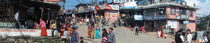
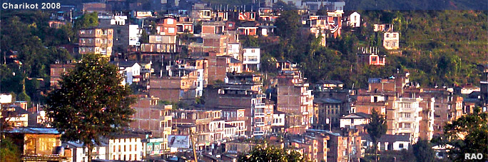
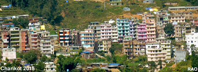
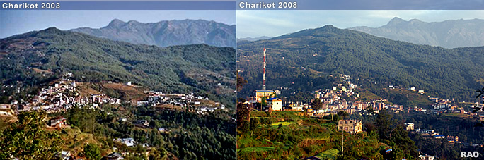
Charikot is located at nearly 2,000 m to the northeast of Kathmandu, the capital of Nepal, and can be reached in a 4-5 hours drive by car.
The Arniko Highway, the road to Tibet, descends from Dhulikhel to the valley of the Sun Koshi, offering a scenic view of parts of the Himalaya range.
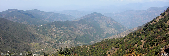
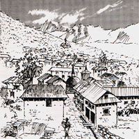
Turning east by crossing the Sun Koshithe mountainous Jiri-Lamosangu road climbs up to Kharidunga at 2,600 m providing spectacular views of the mountains to the East and West before gently descending to Charikot, situated on a ledge, 1,000 m above the Tama Koshi valley. Charikot is the headquarters of Dolakha district. |
|
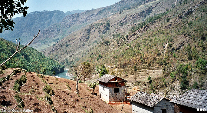
The Tama Koshi valley and its suroundig hills is dottet with settlements and seperated by deep gullies. The northern parts of the Tama Koshi valley is dominated by the white glaciers and the black rockfaces of the Himalaya range from the peaks of the Gauri Shankar and the pyramid of the Numbur.
The surroundigs of Charikot offer a variety of village treks. The old Newar town of Dolakha and its Bhimeshwor temple can be reached in 1 hour on foot from Charikot.
Another landmark is religous importancd is the 3,800 m high Kalinchowk which can be reached by a steady 6 hour climb.
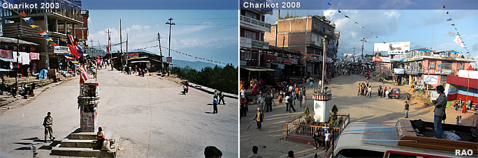
Charikot lies at the mid way pointof the Swiss designed and built road from Jiri to Lamosangu.
The river Tama Koshi originating from the Tsho-Rolpa glacier lake at the end of the Rolwaling valley.
Between Charikot and Jiri the road descends to 845 metres down to Nayapul and is bordered by plantations of sugar-cane, in the springtime by the rhododendrons. Above these slopes are forests of dark oak, fir and pine. |